News in 2013
|
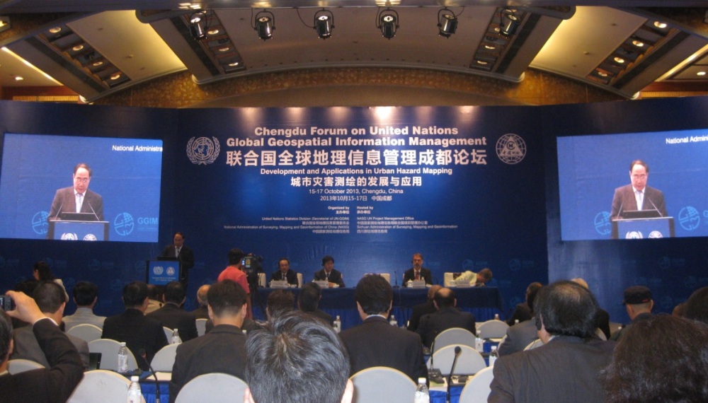
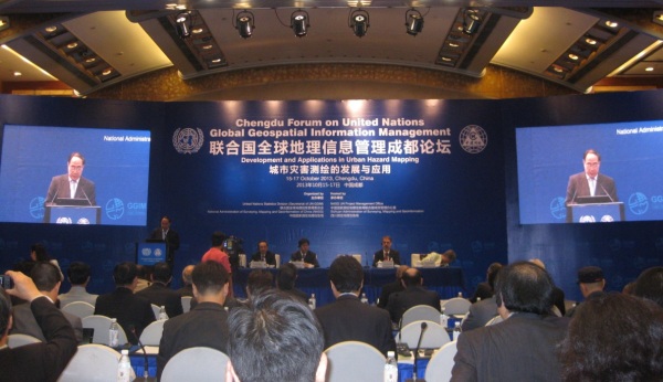
The Chengdu Forum on United Nations Global Geospatial Information Management
Chengdu, China, 15-17 October 2013
The Chengdu Forum on United Nations Global Geospatial Information
Management was held at the Jinjiang Hotel in Chengdu, China from 15 to 17
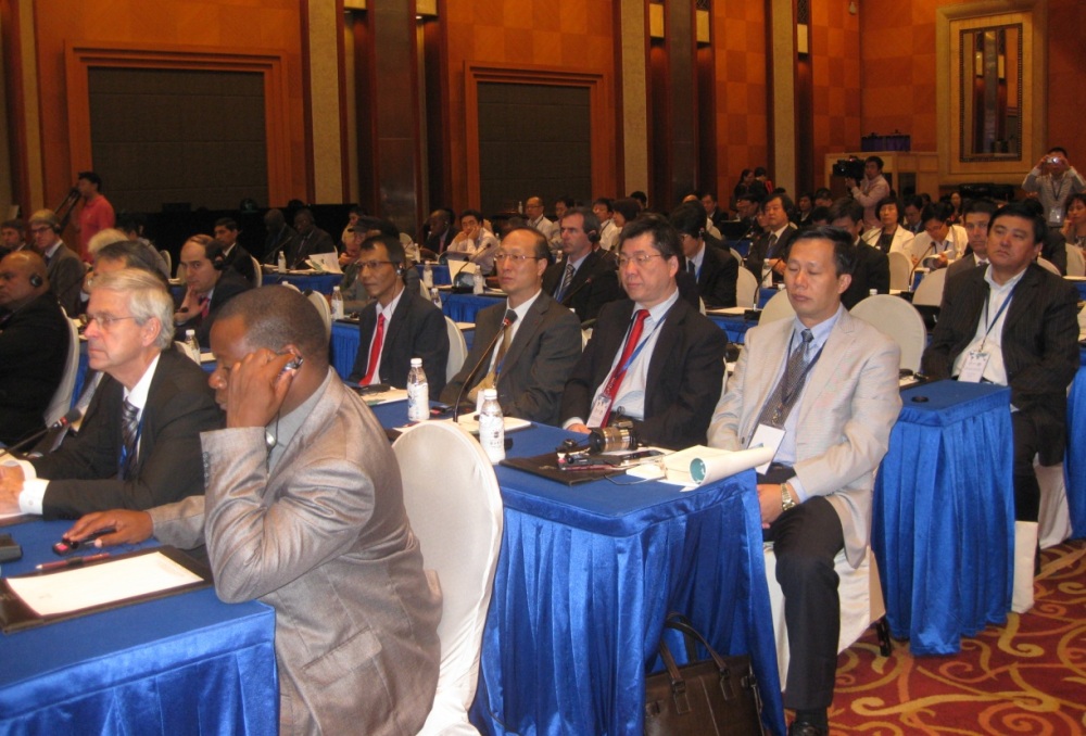
October 2013. Nearly 200 participants from 40 countries participated and
represented the United Nations, International Organizations and Industries.
FIG Vice President, Prof. Cheng Pengfei representing FIG was present at the
meeting. Mr. Xu Deming, General Director of National Administration of
Surveying, Mapping, and Geoinformation, Deputy General Director of Ministry
of Land and Resources of the Republic of China was invited as speaker at the
opening ceremony. Mr. Deming stressed that, surveying, mapping and
geoinformation have the superiority of integration when talking about
acquisition of information, analysis and judgment. In addition efforts
should be made in the areas of risk management, disaster reduction and
mitigation.
The Chinese Government is impressed by the United Nation’s efforts on the
Mechanism Construction among member States. He also indicated that apart
from the support from the Chinese Central Government, the Chinese Surveying,
Mapping and Geoinformation sector benefits from international communication
and cooperation. China is committed to have wider and deeper communication
and cooperation with other countries in the field of surveying, mapping and
geoinformation.
Welcome to the Chengdu Forum on United Nations Global Geospatial Information
Management
Mr. Wu Hongbo, Deputy Secretary General of United Nation attended the
opening ceremony. Mr. Hongbo expressed his sincerely thanks to the the
National Administration of Surveying, Mapping and Geoinformation and to the
People's Government of Sichuan Province. He stated that UN-GGIM is aiming to
respond to the multiple challenges of sustainable development of global
society. Geospatial information plays a critical role in sustainable
development and humanitarian aid. A UN hosted conference on Sustainable
Development spoke loudly about that. This forum has global representatives
and experts from all over the world to share the information and experience
on city risk and hazard surveying. UN is devoted to the development of GGIM.
The Chengdu Forum had 8 sessions with 25 speakers from China and
overseas. Some of the conspicuous subjects presented were “Understanding
Urban Hazard and Risk Process ”, “Hazard and Risk Modeling Applications”,
“Geospatial Challenges in Responding to Urban Disasters”, “Hazard and Risk
Geospatial Information Requirements”, “Developing Geospatial Applications
and Methods”.
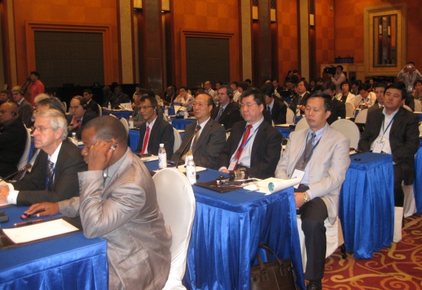
Participants from the Chengdu Forum with Prof.
Cheng Pengfei in the
middle og the picture
The UN Committee of Experts on Global Geospatial Information Management
(UN-GGIM) was established to ensure that Member States can work together,
share knowledge and support the development of strong geospatial information
bases. The work is all based on a common recognition of the value geospatial
information can play in developing our economies, in providing critical
services, in underpinning sustainable development and, in doing so,
enhancing people’s lives the world over.
Prof. Cheng Pengfei
October 2013,Chengdu
25 October 2013
|