Chryssy Potsiou, Chair of FIG Commission 3 Attends
the 2nd GIS National Congress in Turkey
Izmir, Turkey, 2-6 November 2009
|

President
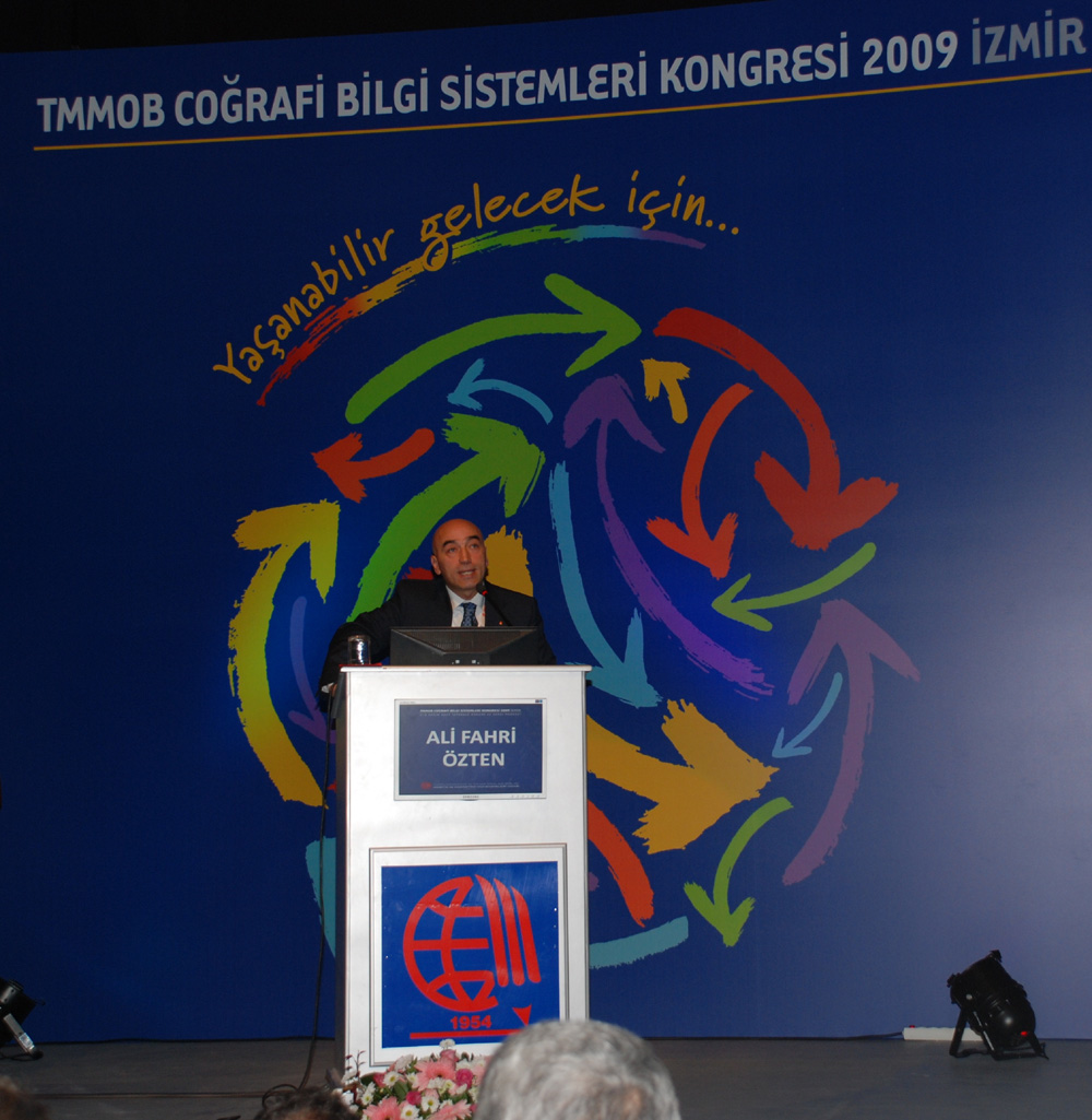
Ali Fahri Özten making his welcome address at the
opening ceremony. |
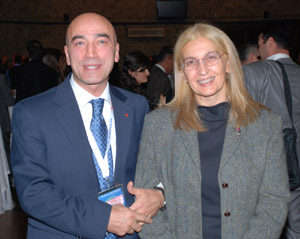
Chryssy Potsiou together with the President of the Chamber of
Surveying Engineers of Turkey, Ali Fahri Özten. |
The 2nd Turkish GIS Congress "GIS 2009" was organized by the
Turkish Chamber of Engineers and Architects (TMMOB) in İzmir, Turkey, 2-6
November 2009. The theme of the congress was “NSDI and working
cooperatively for a livable future”. About one thousand Turkish
participants from various surveying disciplines attended the Congress -
among these 458 delegates, 175 students, and 380 other guests.
Opening addresses were given by several key persons: the Chairs of the
executive committee of the Congress, TMMOB and HKMO, the Congress Director
Hüseyin Ülkü, the Vice Director of the Turkish Land Registry and
Cadastre, the Vice Presidents of İzmir Municipality and İzmir Local
Government, the Rector of İstanbul Technical University Prof. Muhammed Sahin, the President of the İzmir and Konak Municipality, and
the General Director of State Ports and Airports (DLH). The foreign keynote
speakers of the congress were Prof. Werner Kuhn from the Institute
for Geoinformatics, University of Muenster, and Dr. Chryssy A. Potsiou,
FIG Commission 3 Chair from the School for Rural and Surveying Engineering,
National Technical University of Athens, Greece. The title of her
presentation was “Spatial Data Infrastructures in Support of Land
Governance and Natural Disaster Prevention and Management - The FIG
Commission 3 Activity”.
The General President of the Chamber of Surveying Engineers of Turkey
Ali Fahri Özten, the FIG Commission 3 delegate Prof.
Çetin Cömert, Dr.
Orhan Ercan and Fazli Yasar Çetintas organised the visit of
Dr. Potsiou who participated in the Congress and represented the FIG
Council. The organisation of this large event was excellent and the Turkish
hospitality was incomparable. The technical exhibition, the social events,
like the opening cocktail party, the dinners and the excursion to one of the
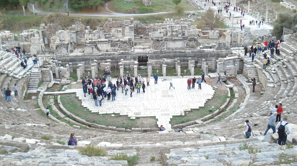
most famous historic sites in Turkey, Ephesus, were really impressive.
FIG Commission 3 delegate Prof. Çetin Cömert reported on the congress:
There were 12 parallel technical sessions - each having four oral
presentations; 5 panels and 1 forum. There were also poster presentations. A
technical exhibition of “Geographical Information Technologies” was
also open during the Congress.
During the first day of the Congress a tutorial was organized to provide
GIS fundamental education for professionals from various disciplines mostly
from the state agencies. Around 150 people attended the tutorial program.
Educators were the members of the GIS technical commission of the Turkish
Chamber of Surveying Engineers (HKMO).
One of the main goals of the Congress was to identify the issues of “real
world GIS applications” and specifically the problems caused by the lack
of interoperability among different parties. The oral and poster
presentations showed that the projects carried out by state Turkish
agencies, municipalities, and the private sector were various GIS
applications concerning urban infrastructure, watershed management, decision
support systems, environmental resources management, land resources
management, spatial data infrastructures, 3D city models, Web 2.0,
cartography, open source software development, municipality services, remote
sensing and GIS integration.
The panels and the final NSDI forum showed that interoperability is
largely lacking in the country. There is an urgent need to initiate an NSDI
of Turkey. The need for establishing SDIs at local levels is also urgent. It
has also been demonstrated that the transformations of the major
institutions like General Command of Mapping acting as the national mapping
agency and Land Registry and Cadastre of Turkey are major tasks. The
reorganization of many State agencies is also necessary if NSDI is to be
built and maintained. In conclusion, NSDI in Turkey still has a long way to
go before it achieves its goal. A stronger government will is required. The
legal basis of NSDI in Turkey is in the “e-Turkey action plan”, which has
been set aside by the government.
Read more:

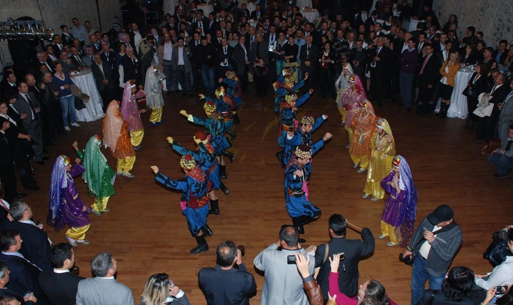
At the Gala Dinner. |
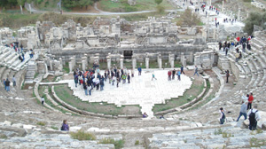
The ancient Theatre. |

Exhibition. |
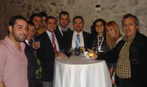
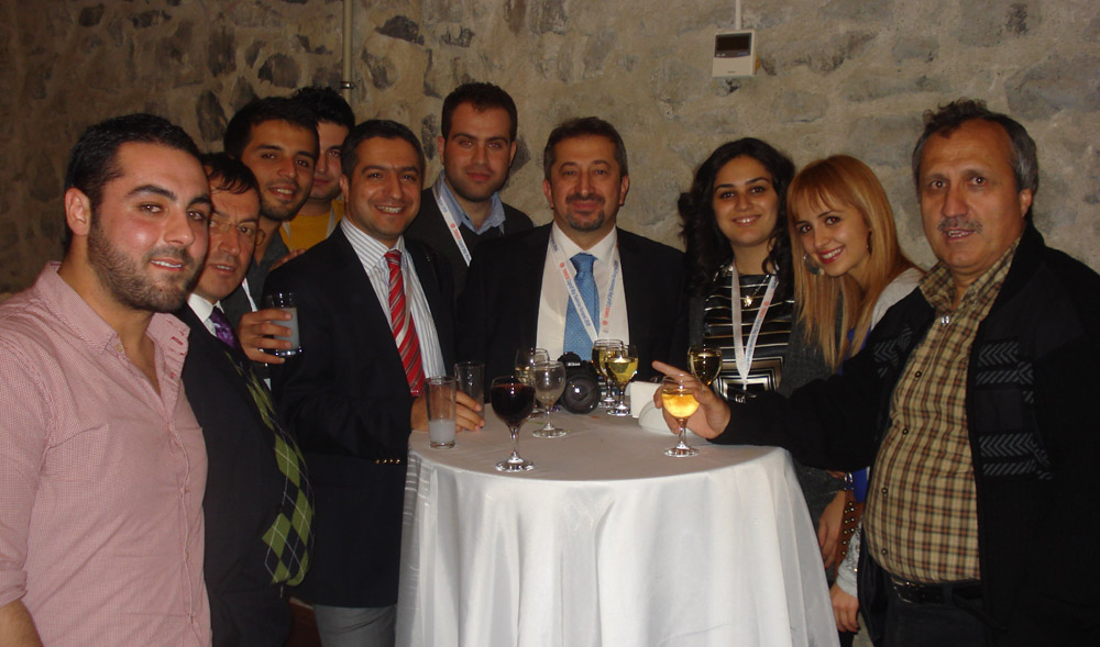
Cocktails at the end of the Congress. |
|
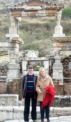
Chryssy Potsiou and Professor Babis Ioannidis. |
|
15 December 2009
|